Skyfence
An iPhone horizon surveyor that records what it actually saw, including the sectors it did not.
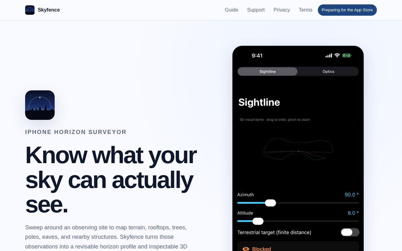
Skyfence is an iPhone app for surveying the horizon around an observing site. You sweep a full circle with the camera up, and it works out where the terrain, rooftops, trees, poles, and eaves actually cut into the sky.
Drawing a smooth closed curve is the easy half. The harder question is what to do about the parts of the circle you scanned badly, in poor light, or not at all. Skyfence keeps those sectors flagged as weak or missing while you are still standing on the site and can go back to fix them. The horizon profile and all-sky charts carry confidence, source, distance, and overhang alongside each elevation, and a gap in the survey is drawn as a gap.
On Pro iPhones the capture combines camera evidence with scene depth and ARKit mesh geometry, which is what separates an overhanging eave a few metres away from a distant ridge at the same apparent elevation.
Revisiting a site
A survey you cannot correct is a survey you eventually stop trusting. Rescanning a sector clears the stale obstacles out of it, while corrections you made by hand stay where you put them. The model accumulates rather than needing to be redone.
The corrected model can be orbited as a 3D dome with a planning sightline traced through it, which answers “is that object clear of the trees from here” more directly than reading it off a profile chart.
On the device
Camera, LiDAR, motion, and location data are processed on the phone, and a survey leaves the iPhone only when you export it. The export carries the site geometry along with field diagnostics — sensor quality, thermal events, coverage, and Vision timing — as JSON.
Skyfence is preparing for App Store release. Until then the public site documents the field workflow and the reasoning behind it.