The Long Way to Moose Jaw
A pixel-art drive west from Moose Jaw, with potholes, grain trucks, and a perogy supper at the far end.
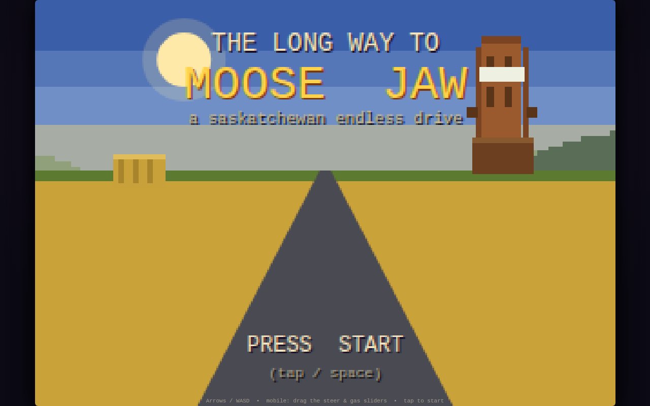
Aunt Carol’s perogy supper is in Maple Creek, which is most of the width of the province away, and it is Sunday. That is the whole premise. Drive west, stay on the pavement, watch the gas, wave at everyone.
Everything is drawn at deliberately low resolution in a 16-bit prairie palette: canola yellow, flax blue, and a lot of ditch. Steering is arrow keys or WASD, or a steering strip with throttle and brake on a phone. C moves the camera into the cab for a first-person view. R turns on realism mode before you start, which gives each vehicle its real tank size and fuel consumption and makes running dry a genuine outcome. Best times and scores are kept in the browser.
The vehicles
You start with a lifted half-ton that has never once been off pavement. The rest have to be earned: finish the drive to unlock the combine, reach the third town for the Big Red Tractor, dodge sixty hazards for an RCMP cruiser, finish in the combine for a hypercar with no road salt resistance whatsoever, and finish in the tractor for the Zamboni. The last two require crossing the province in farm equipment, which takes a while, since the combine tops out around the pace of a brisk walk.
The road
Potholes, loose cows, gophers, and grain trucks doing eighty that have to be passed in the oncoming lane when it is clear. Clip three highway signs and the Mounties write you a citation and reset the tally. Green town signs count off Chaplin, Morse, Swift Current, Gull Lake, Tompkins, Piapot, Maple Creek, and finally Walsh, which is in Alberta, using the real order of towns along the Trans-Canada west of Moose Jaw. The distance number on each sign barely changes the entire way. That is the joke, and roughly how the drive feels.